Documentation utilisateur [FR]
Gebruikersdocumentatie [NL]
User guide [EN]
Administration
For more technical (ie: developers infos), please refer to the readme about the server here and about the client applications here.
Applications
Metadata
Geographical ressources (GeoJSON data) on cartostation are represented by metadata instances.
To make a resssource available in the Studio application, it has to be represented by a metadata instance.
The model in use is compliant with the European INSPIRE directive.
Add metadata
All metadata fields are described below.
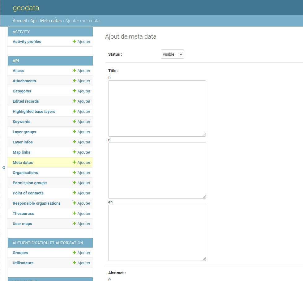
Title
Set up a title for your ressource.
This field can be edited in the Metadata application.
Abstract
Set up an abstract for your ressource.
This field can be edited in the Metadata application.
External link
Set up a link to the external ressource (optional).
This field can be edited in the Metadata application
Ressource identifier
Ressource identifier is structured like a URL.
It is templatized as : loader://path
It is an internal identifier which is converted into a proper URL pointing to the ressource by the loader itself (eg: postgis loader).
ex :
- postgis :
postgis://schema/table_name - angled :
angled://UI_code_name/query_IDwhereUI_code_namecan bepoint,lineorpolygon
nb1 : you can point to distant ressources : for an accesible GeoJSON in EPSG:31370 ressource, an absolute URL will do the job.
nb2 : To delete a metadata, you will be asked to delete all the objects dependant on it. (Layers in maps etc..)
Geometry type
Select the geometry type of your ressource.
Bounding box
Has to be 0.0, 0.0, 0.0, 0.0 for now. It will be removed soon.
Point of contact
Point of contact for this ressource.
A point of contact is a user connected to an organization.
Create a centroid layer
Note : Works only for a polygon layer frome a query created via the Query application
- Duplicate a query (polygon only) metadata sheet
- Adjust metadata title accordingly
- Add
/centroidat the end of itsResource identifier(eg : angled://l/45/polygon -> angled://l/45/polygon/centroid) - Change geometry type for
Point
Manage Metadata
Large amounts of matadata require maintenance. The advanced search function allows to filter the metadata by date, and also by count (how many map layers are actually using the table associated to the metadata).
Metadata can be deleted, and will not appear anymore.