Table
The table is a component that recurs regularly in cartostation, in various contexts. Depending on the case, a certain set of features is available.
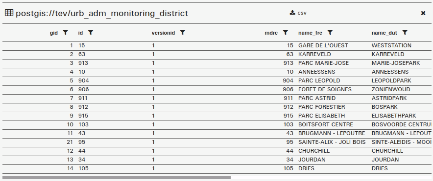
Viewing information
The information contained in the table can be of a very diverse nature. Sometimes the cells do not display all the information. In all cases, the information is fully displayed when the mouse hovered it, and can be copied by selecting the contents of the cell with a double-click + ctrl-C.
In some cases, when a row in the table is selected, a summary sheet of the information in the row is displayed in a side panel.
Arrange according to a column
Clicking on a column title will order the table in alphabetical order of the values in the selected column.
Filter data (text, numeric, dates)
It is possible to filter the information by column. Filters can be cumulative, and offer operators such as equal to, greater than or equal to, less than or equal to for numeric values and dates.
It is therefore possible to filter on a numeric or time interval, while refining according to textual categories for example.
Export data to CSV
Depending on the case, an export of the table data is available. The file produced is a .csv file, which can be read by standard spreadsheet softwares.