Applications
alias
atlas
bruwater
solar map
brugeoTool
dashboard
embed
infiltrasoil
login
metadata
plans & projects
query
studio
terms
Components
Administration
BruWater
BruWater is a portal for displaying qualitative and quantitative data on groundwater and surface water in the Brussels-Capital Region. It is a Cartostation module designed for professionals and the general public, developped for Environnement.brussels.
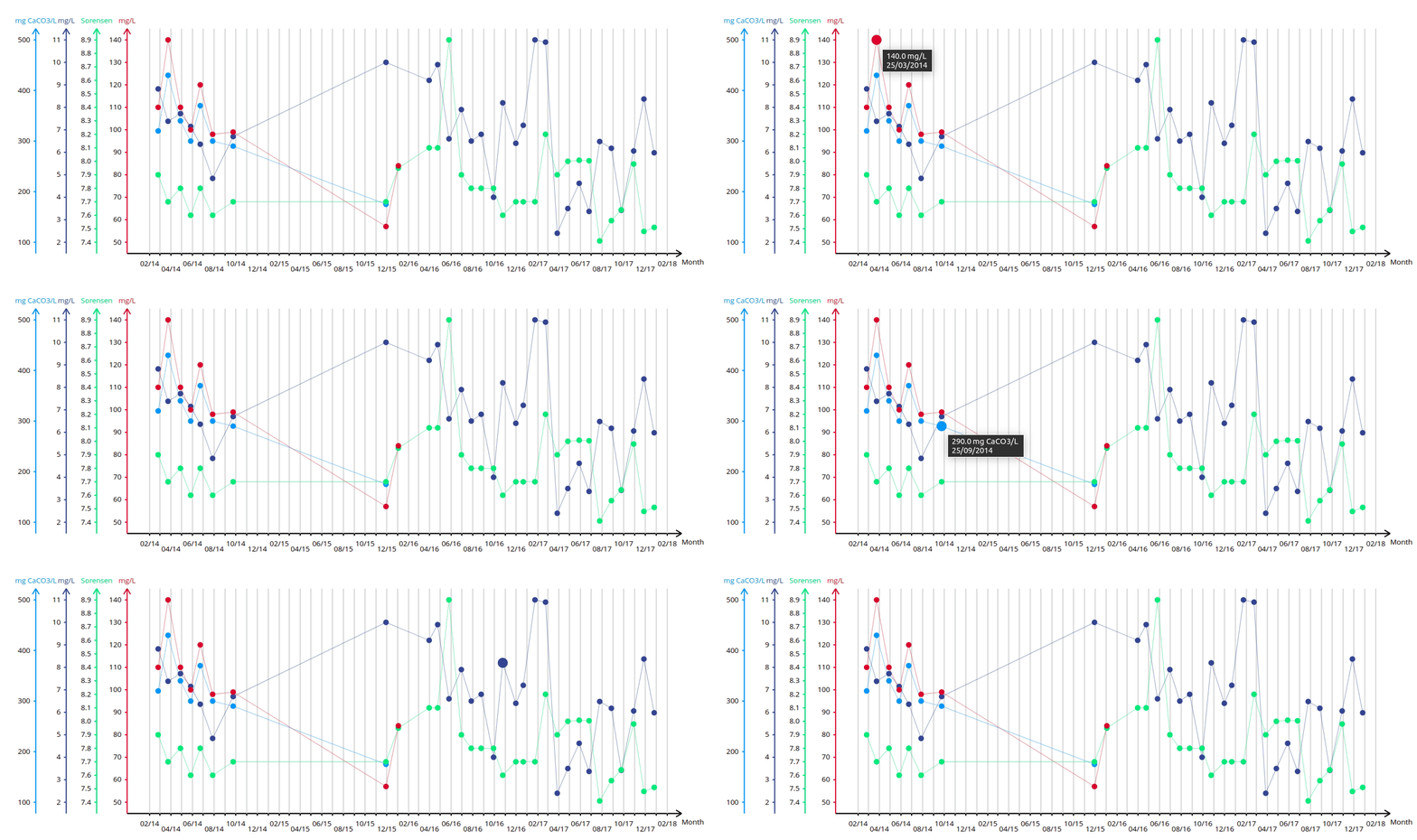
This application offers a module for displaying time series to compare physico-chemical measurements for the same station.
This application can be used at this address:https://geodata.environnement.brussels/client/bruwater/
An FAQ is available at this address (in French): https://environnement.brussels/pro/outils-et-donnees/sites-web-et-outils/bruwater-donnees-sur-les-eaux-de-surface-et-les-eaux-souterraines-en-region-bruxelloise
